Queensland’s Premier, Peter Beattie, has been telling the 2 million or so people who live in the south east of Queensland that “we have a water crisis and the worst drought on record”.
We are dependent on three dams to the north-west of the city of Brisbane and it has not rained in that catchment for some time. But is it the worst drought on record?
Most reporters have just been repeating the Premier’s claims that it is the worst drought on record; which in Australia only takes us back a hundred or so years.
But this morning there was a piece in local paper the Courier Mail explaining that: “a computer simulation showed if the Wivenhoe and Somerset dams had been built earlier this century they would have been empty during the federation drought and close to current levels in the 1940s. …hit low levels in the 1920s, late 1980s and late 1990s.”
William Kinnimonth in a piece for the IPA titled ‘Predictions of Drought Lack Credibility’ writing last June, in a whole of Australia context, identified the following drought years:
1885-1902 (the federation drought)
1914-15*
1937-45
1965-68
1982-83*
1991-95.
Kinnimonth links all of these droughts to either major El Nino events (1914-15 & 192-83) or to years when their was “El Nino-like sea surface temperature patterns across the equatorial Pacific Ocean” (those years not marked with an asterisk).
There is much speculation that the Premier will announce an early election for perhaps 9th September and make water a feature of his re-election campaign. This is perhaps a risky strategy as he is perhaps responsible for the ‘water crisis’ in so much as his government has invested very little in water infrastructure over the years. Alternativley he could hope it storms over summer? He doesn’t have to hold an election until February.
Is it likely to rain this summer potentially taking the pressure off south east Queensland water supplies?
My reading of the following advice from the Bureau of Meteorology is ‘perhaps’:
“The overall ENSO status remains neutral. Generally weak trends have been observed in the main Pacific climate indicators during the past few weeks, and the potential for an El Niño event to develop this year is still relatively low. … The main concern remains the Southern Oscillation Index (SOI), which is still hovering around the −10 mark, indicating a general weakness in the Pacific Walker Circulation. In addition, the Trade Winds have been weaker than average across much of the Pacific during July, so this situation will be monitored closely for any sustained trends. However, with the exception of the far eastern Pacific, ocean temperatures are only marginally above average, both on and below the surface. Therefore, there is only a slight risk that the Pacific will warm to levels high enough for an El Niño event to develop.”
Given the importance of ocean temperatures as a driver of weather and climate it is interesting that climatologists don’t have a better understanding of how it all works. There is an interesting article titled ‘El Niño and Global Warming’ at www.realclimate.org exploring some of these issues.
But tell me, will it rain this summer in south east Queensland?

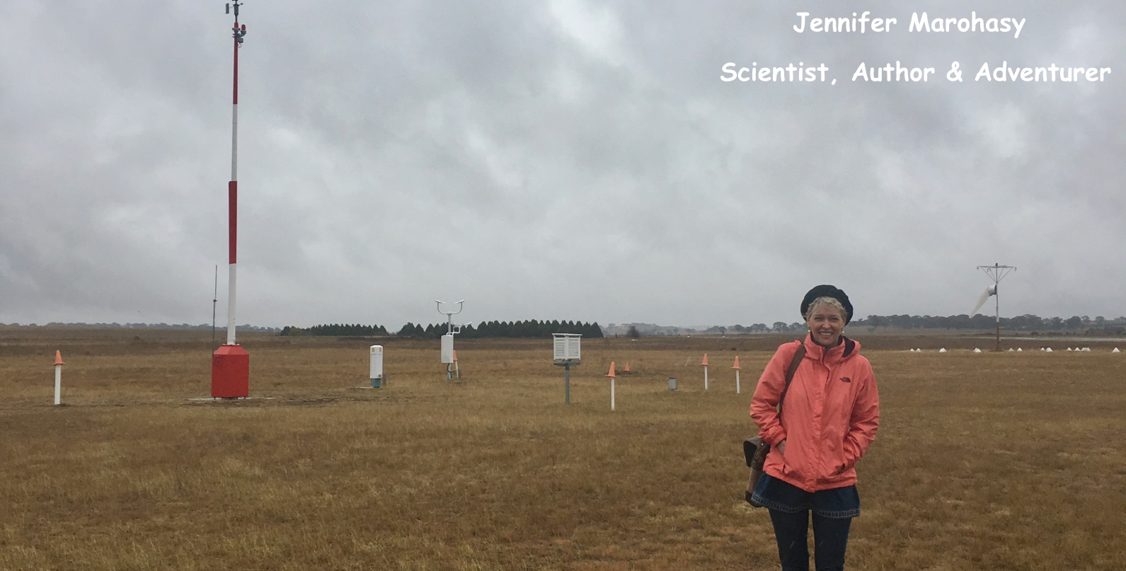
 Jennifer Marohasy BSc PhD has worked in industry and government. She is currently researching a novel technique for long-range weather forecasting funded by the B. Macfie Family Foundation.